|
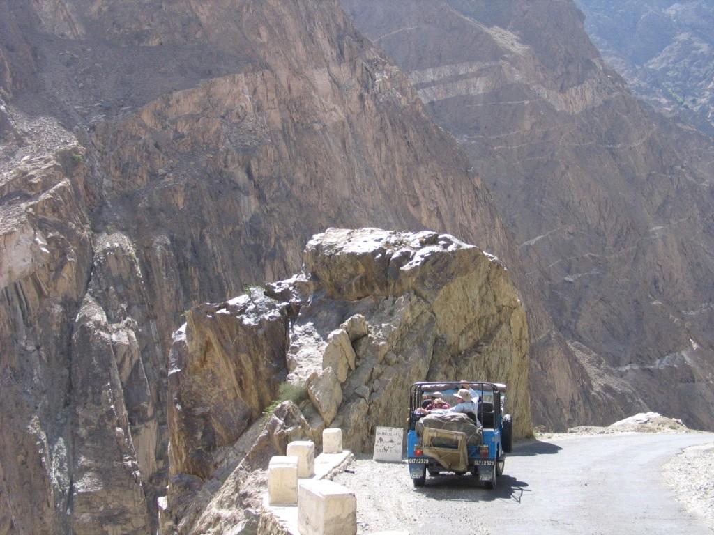
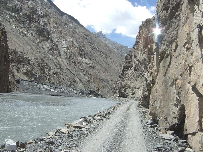
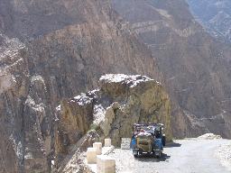
The Karakorum Highway (KKH) is the highest
tarmac international road in the world. It connects China and Pakistan across the Karakorum
mountain range, through the Khunjerab Pass, at an altitude of 16,000feet
approximately.
KJTI
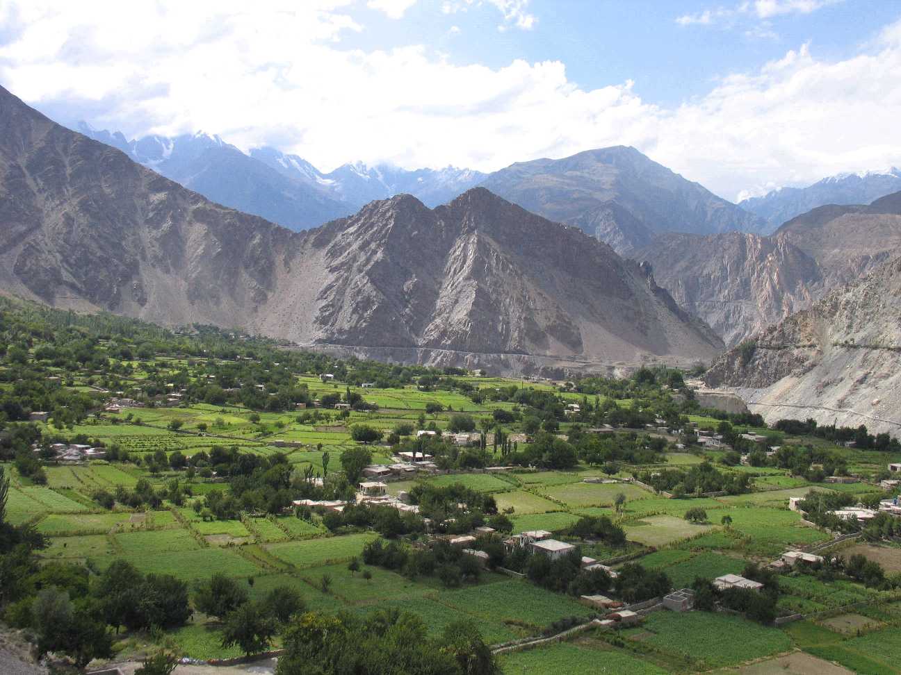
tours along the famous Karakorum
Highway out of the green valleys of the
foothills of the Himalayas through the deserts
of the Chilas region and on to the fearsome
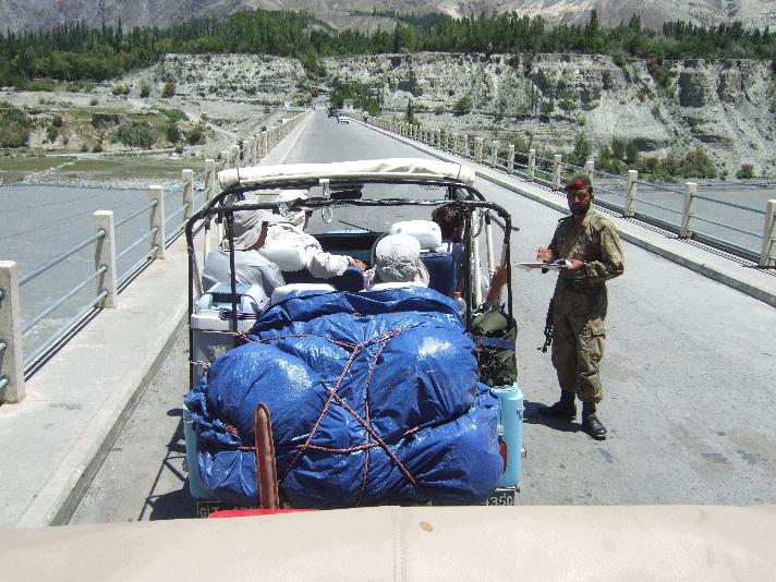
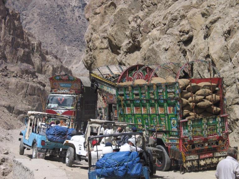
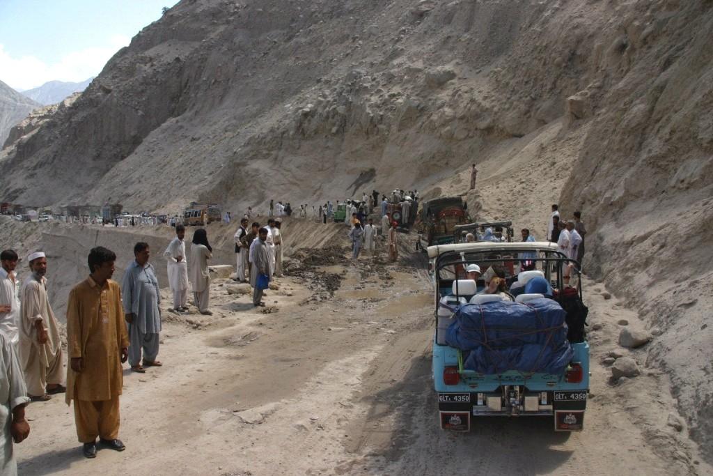
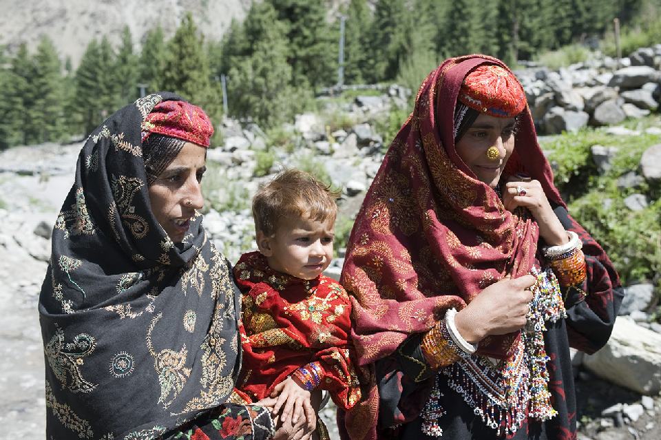
mountains of the Karakorums. Along the KKH, Gilgit is the largest town and is the place to
'people watch' - from as far West as Afghanistan
and as far east as Tibet
it is a real mix of traders, jeep drivers, farmers and trekkers. The tour
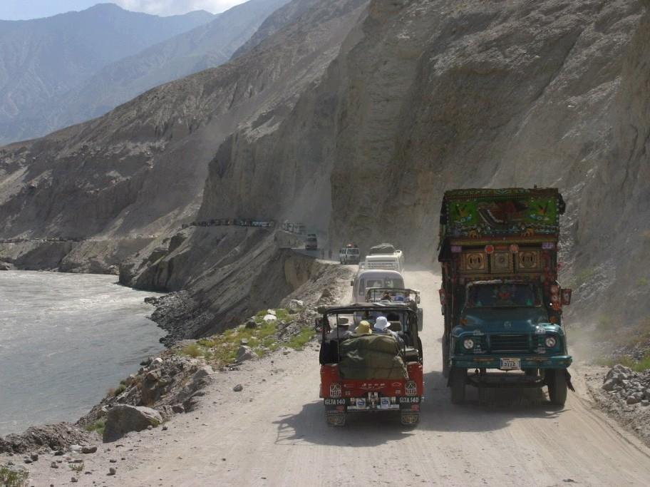
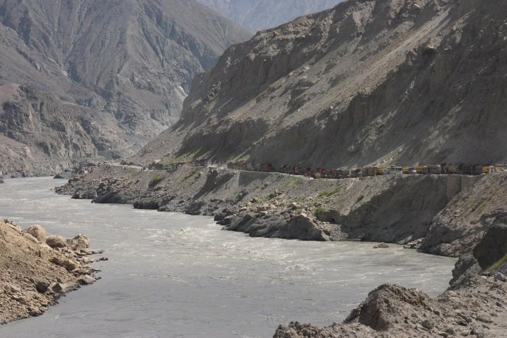
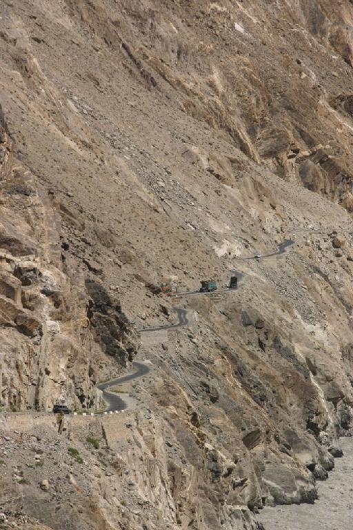
continues up past Gilgit towards the border with China along the KKH - in an
unprecedented feet of engineering the 1300km long KKH crosses the Karakorums along the route of the Old Silk road from Beijing, to connect Islamabad
to Kashgar in Xinjiang,
China. As one
of the highest tarmac roads in the world it offers a great chance to get
right in amongst some of the worlds highest peaks with relative ease. On this
road, Karimabad is a small town in Hunza surrounded by the most massive peaks of the Karakorums and the Pamirs,
including the indescribably awesome spectacle of Rakaposhi
(c26,000ft). Many of the drivers originate from this
area.
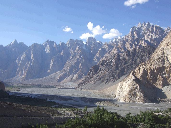
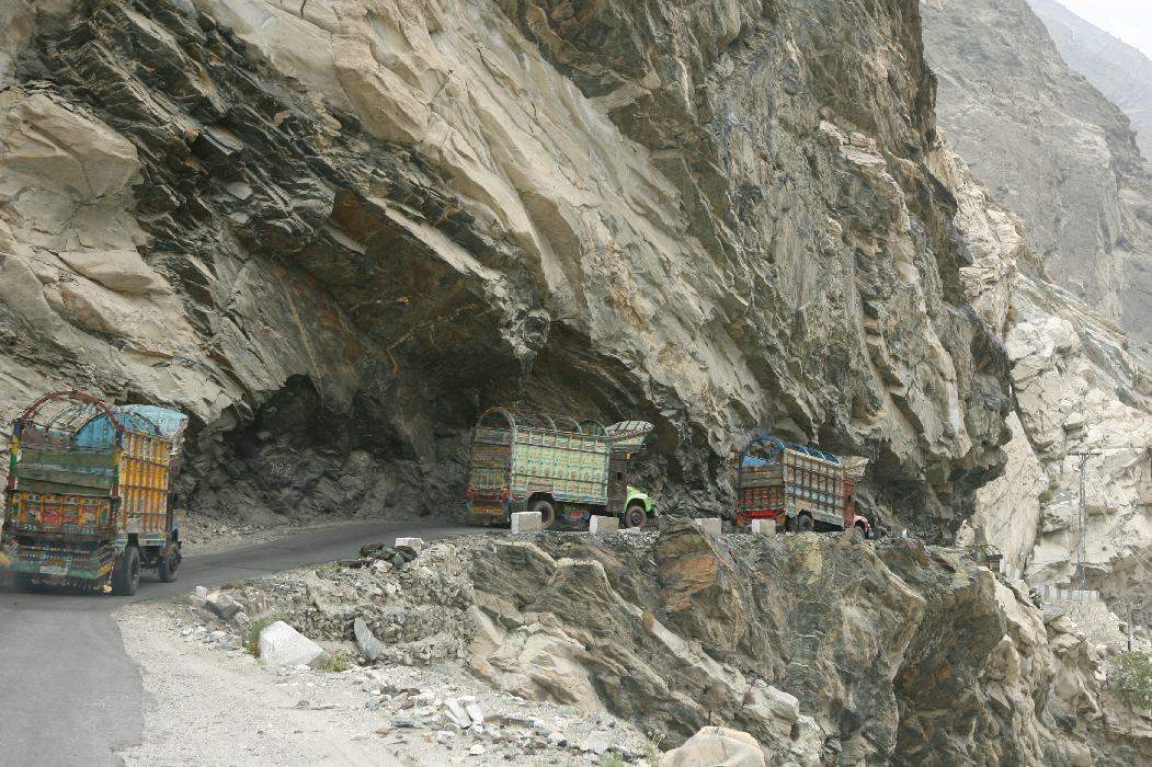
100km
beyond Karimabad and the KKH reaches the Passu glacier. Probably the most impressive stretch of all
along the road it affords spectacular views of dozens of (20,000ft plus)
snow-capped peaks, including 'Ultar I', 'Diran' and 'Golden peaked The glacier itself is equally
unforgettable, running 58km up into the Passu
massif from virtually the edge of the road.
The Karakoram
Highway, also known as the Friendship Highway in China, was built by the governments of Pakistan and China, and was completed in 1986,
after 20 years of construction. 810 Pakistani and 82 Chinese workers lost
their lives, mostly in landslides
and falls on the Pakistani side alone, while building the highway. The
route of the KKH traces one of the many paths of the ancient Silk Road.
On the Pakistani side, the road was constructed by FWO (Frontier Works Organization),
employing the Pakistan Army Corps of Engineers.
The highway, connecting the Northern Areas
of Pakistan to the ancient Silk Road, runs approximately 1,300 km from Kashgar,
a city in the Xinjiang
province of China, to Abbotabad in
Pakistan. An extension of the highway meets the Grand Trunk Road
at Hasan Abdal, west of Islamabad, Pakistan. The highway cuts through the collision zone between the Asian and
Indian continents, where China, Tajikistan,
Afghanistan
and Pakistan
come within 250km of each other..
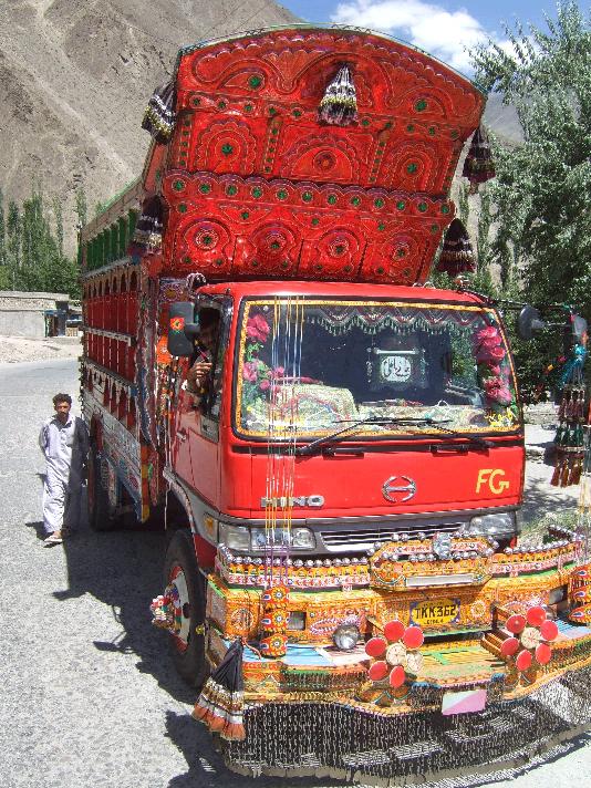
In recent years, the highway has
become a destination for adventure
tourism. The road has also given mountaineers
and cyclists
easier access to the many high mountains, glaciers and lakes in the area. The
highway also provides access to Gilgit and Skardu
from Islamabad
by road. These are the two major hubs for mountaineering expeditions in the Northern Areas
of Pakistan.
(Some
information and links sourced from Wikipedia)
Adventure Travel in North Pakistan
http://www.kjti.co.uk/
|
|