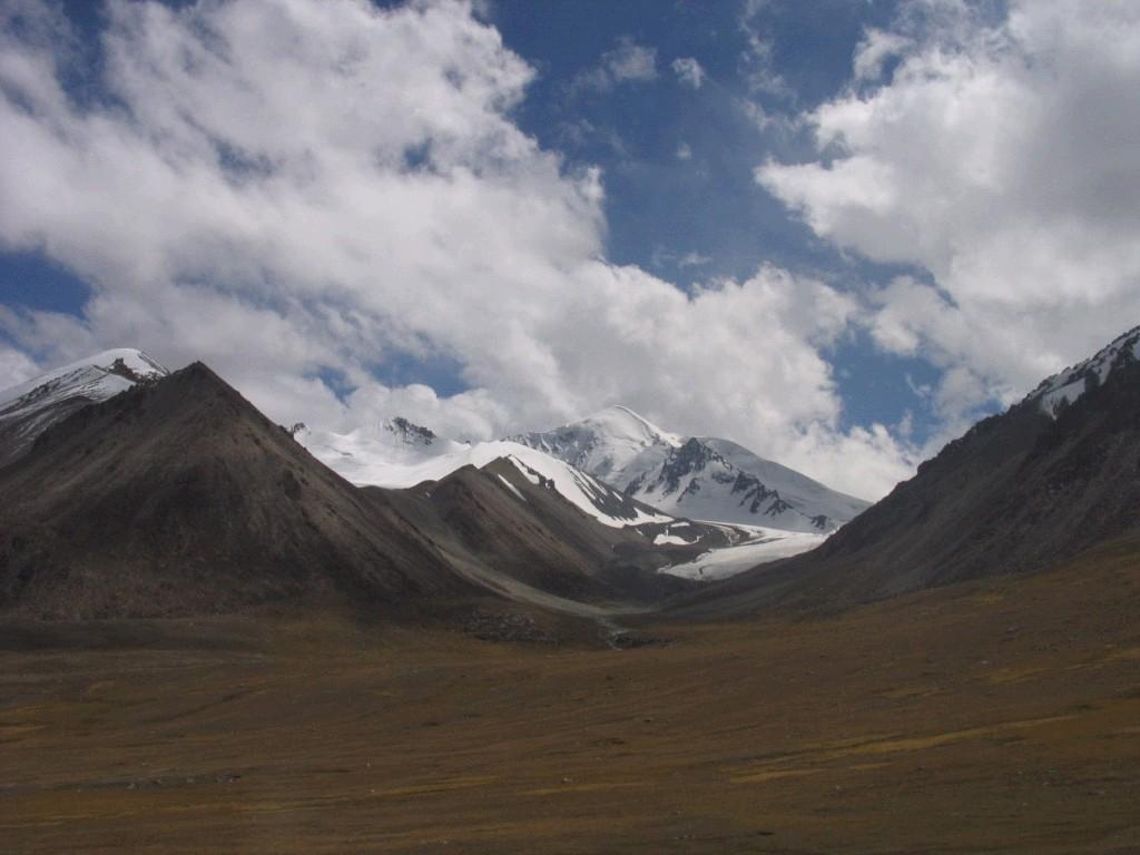
Jeep Tour K2 Trek Snow Capped High Mountains Valley Travel
|
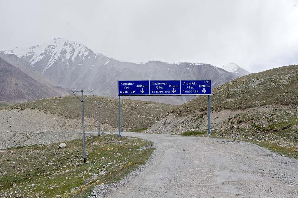
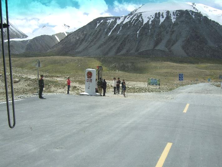
KJTI tour through Khunjerab Pass to China The On the
Pakistani side, the pass is 125 km (78 mi) from Sust, 270 km
(170 mi) from Gilgit and 870 km (540 mi) from Islamabad.
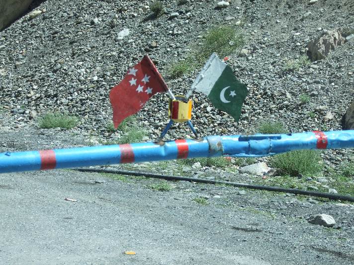
There is a security outpost in Dih, and a customs and immigration post near Sust. On the Chinese
side, the pass is 130 km (81 mi) from Tashkurgan,
420 km (260 mi) from Kashgar and some 1,890 km (1,170 mi) from Urumqi. The
Chinese port of entry is located 1 km (0.62 mi) away from the
mountain in Tashkurgan County. The long, flat
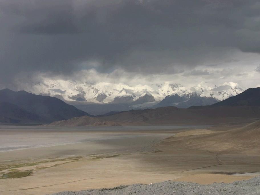
pass is often snow-covered during the winter season and is closed from
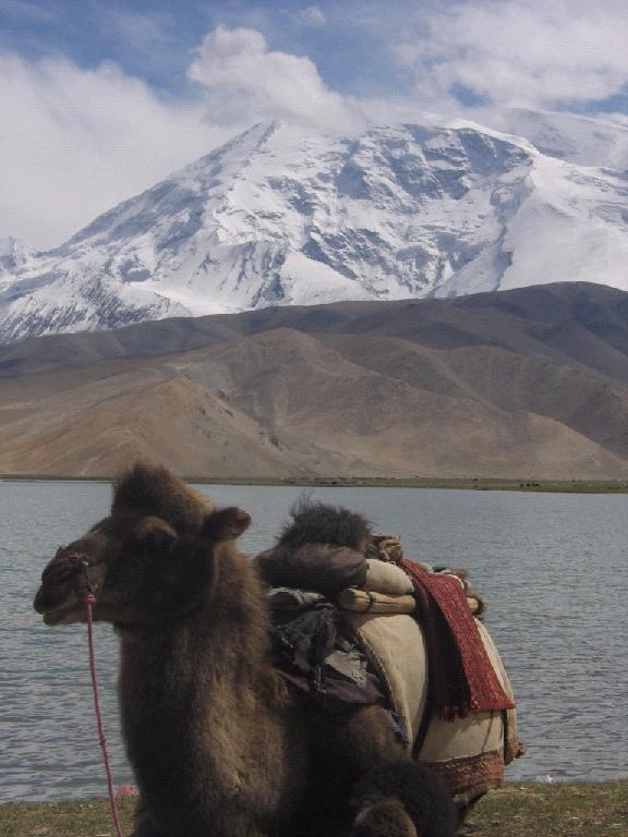
November to May. There is excellent grazing on the Chinese side of the pass,
and domesticated yaks
and dzu (a cross between yaks and cows) may be seen from the road. On the
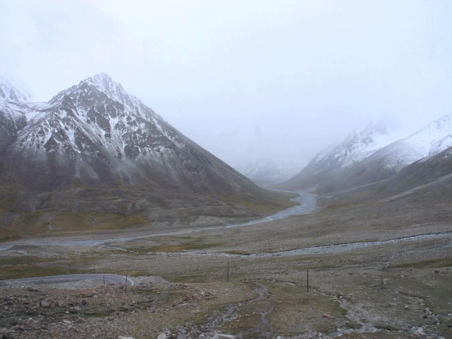
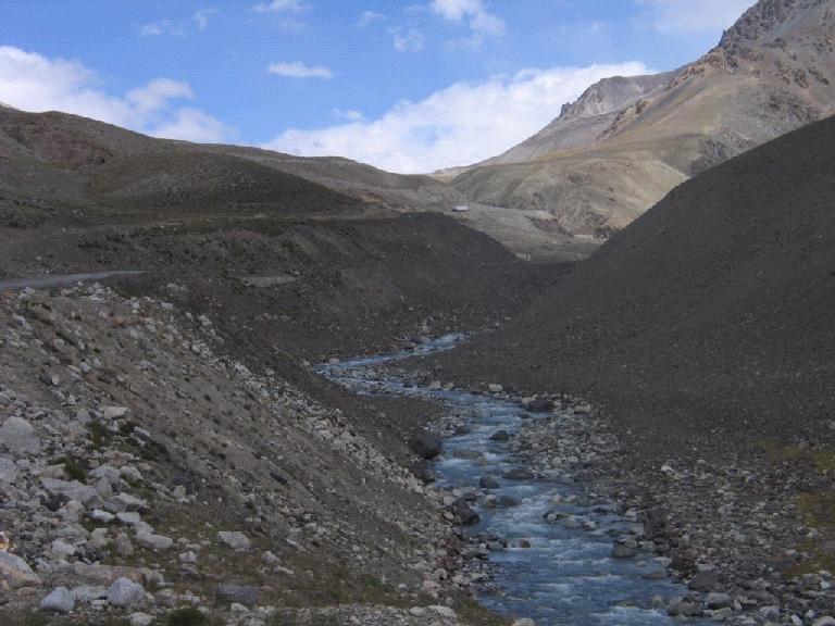
Pakistani side, the highway travels about 50 km (31 mi) across the
extensive Khunjerab National Park before reaching
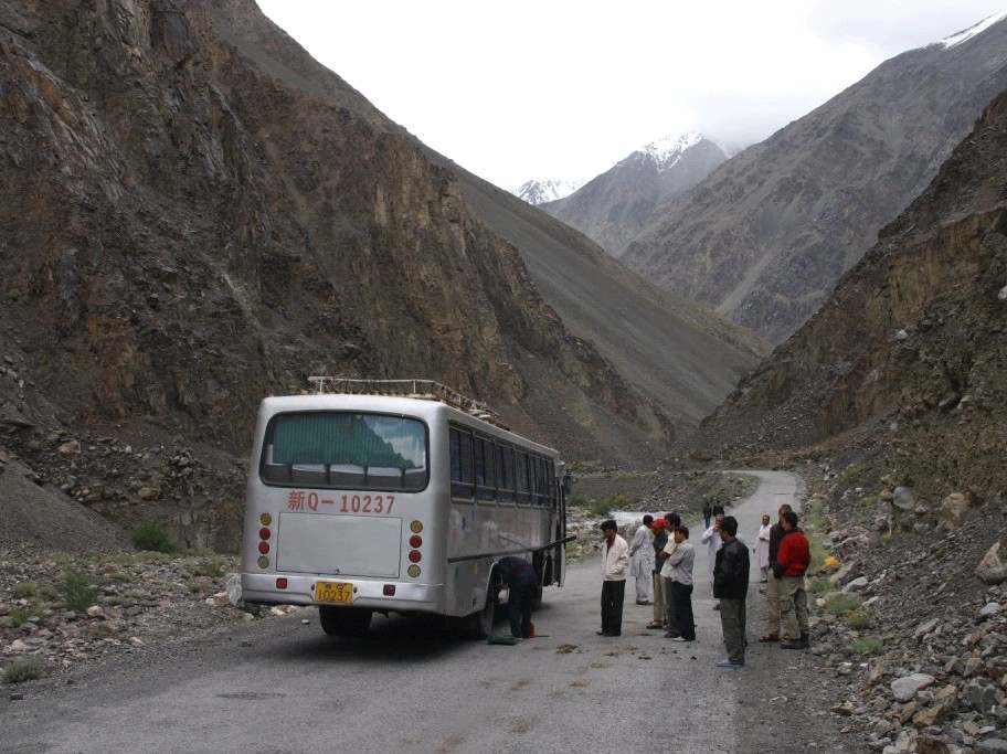
the security outpost of Dih. Since June 1,
2006, there has been a daily bus service across the boundary from Gilgit, to Kashghar, China[1] Khunjerab Pass
is in a strategic
position between the Pakistani autonomous region of Gilgit-Baltistan
(formerly the known as the Northern Areas, and once part of Kashmir and the
Xinjiang
autonomous region of China. (Some information and links sourced from
Wikipedia) Adventure Travel in North Pakistan http://www.kjti.co.uk/
|
|
|
|
Click any image to enlarge |
||
|
|
|
|
|
|
|
|
|
|
|
|
|
|
|
|