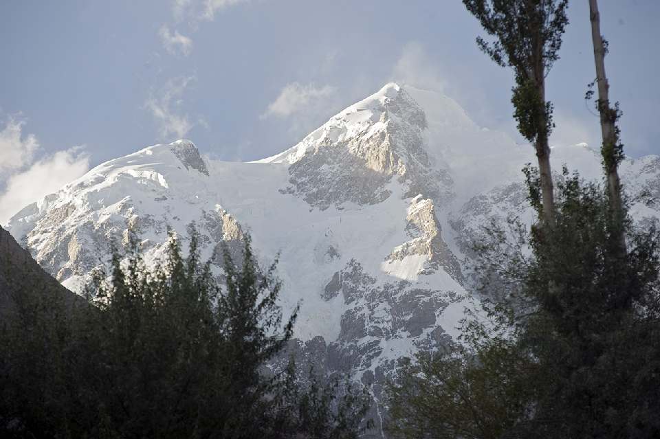
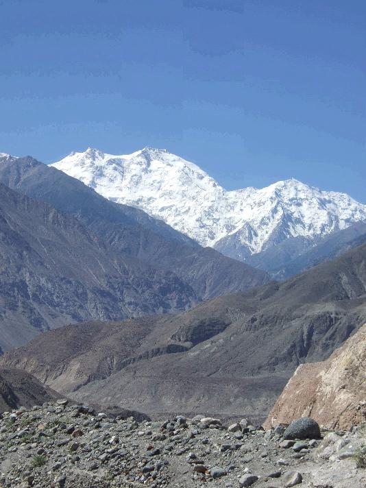
Nanga Parbat
Nanga Parbat is the ninth highest mountain on Earth. Nanga Parbat
means "Naked Mountain" in English,
parbat deriving from the Sanskrit meaning "mountain", and nanga
in Urdu meaning "naked". Known as the "Killer
Mountain," Nanga
Parbat was one of the deadliest of the eight-thousanders
for climbers in the first half of the twentieth century; since that time it
has been less so, though still an extremely serious climb. It is also an
immense, dramatic peak that rises far above its surrounding terrain.
Nanga
Parbat is the western anchor of the Himalayas
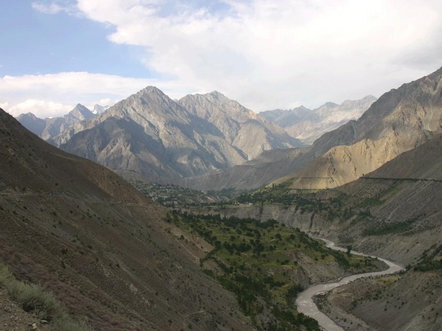
and is the westernmost eight-thousander. It lies just south of the Indus
River in the Astore District of the Gilgit-Baltistan
in Pakistan administered Kashmir. Not far to the north is the western end of the
Karakoram
range.
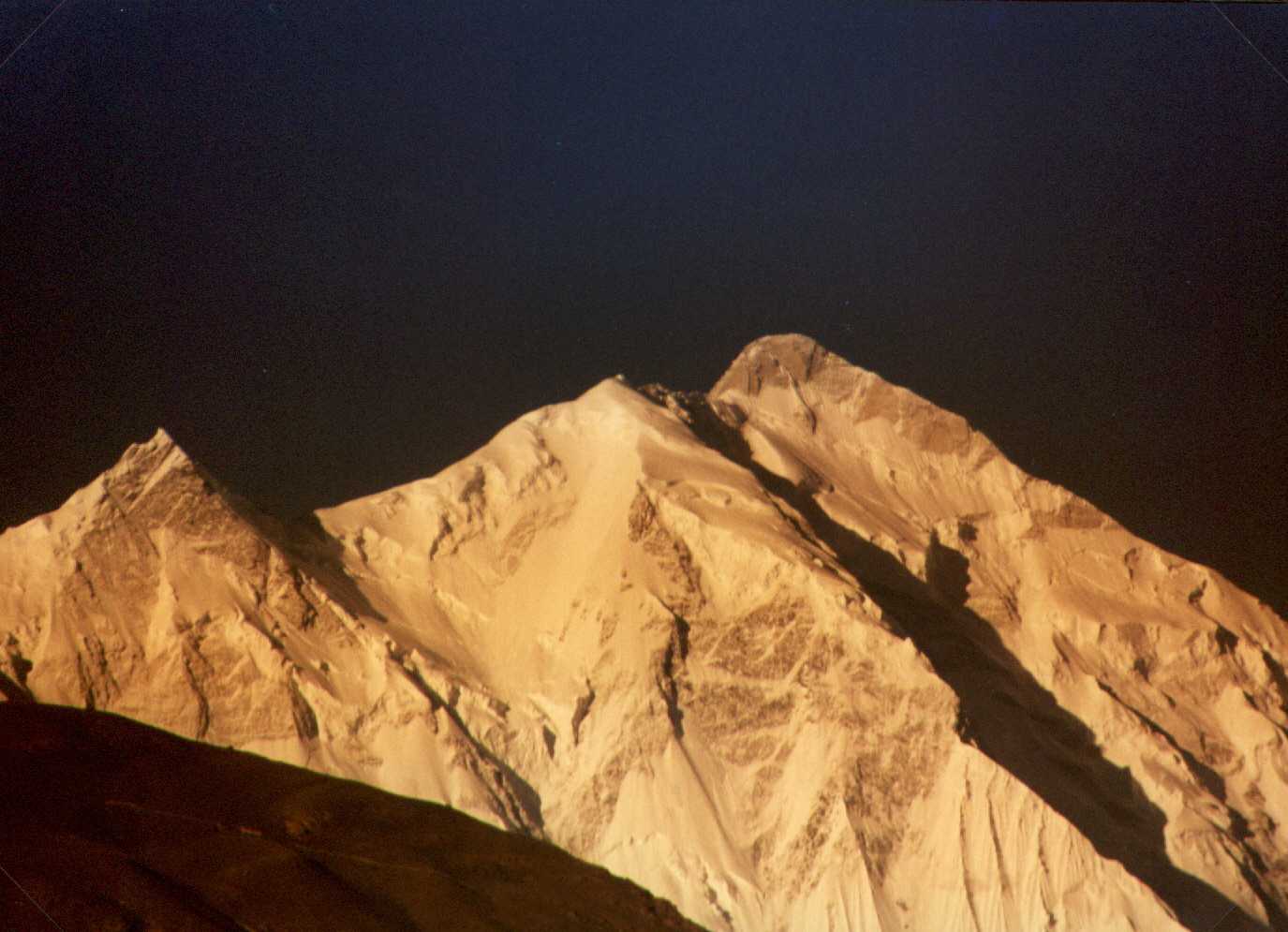
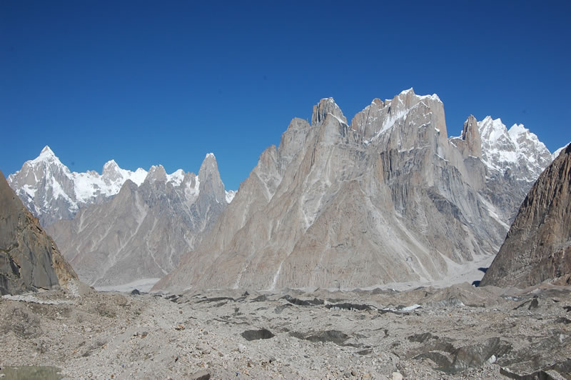
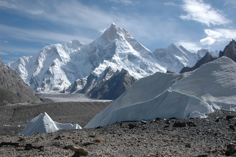
The
core of Nanga Parbat is a long ridge
trending southwest-northeast. The ridge is an enormous bulk of ice and rock.
It has three faces, Diamir face, Rakhiot and Rupal. The southwestern portion
of this main ridge is known as the Mazeno Wall, and has a number of
subsidiary peaks. In the other direction, the main ridge arcs northeast at Rakhiot Peak (7,070 meters). The
south/southeast side of the mountain is dominated by the massive Rupal Face,
noted above. The north/northwest side of the mountain, leading to the Indus, is more complex. It is split into the Diamir
(west) face and the Rakhiot (north) face by a long ridge. There are a number
of subsidiary summits, including North
Peak (7,816 m) some 3
km north of the main summit. Near the base of the Rupal Face is a beautiful
glacial lake called Latbo, above a seasonal shepherds' village of the same
name.
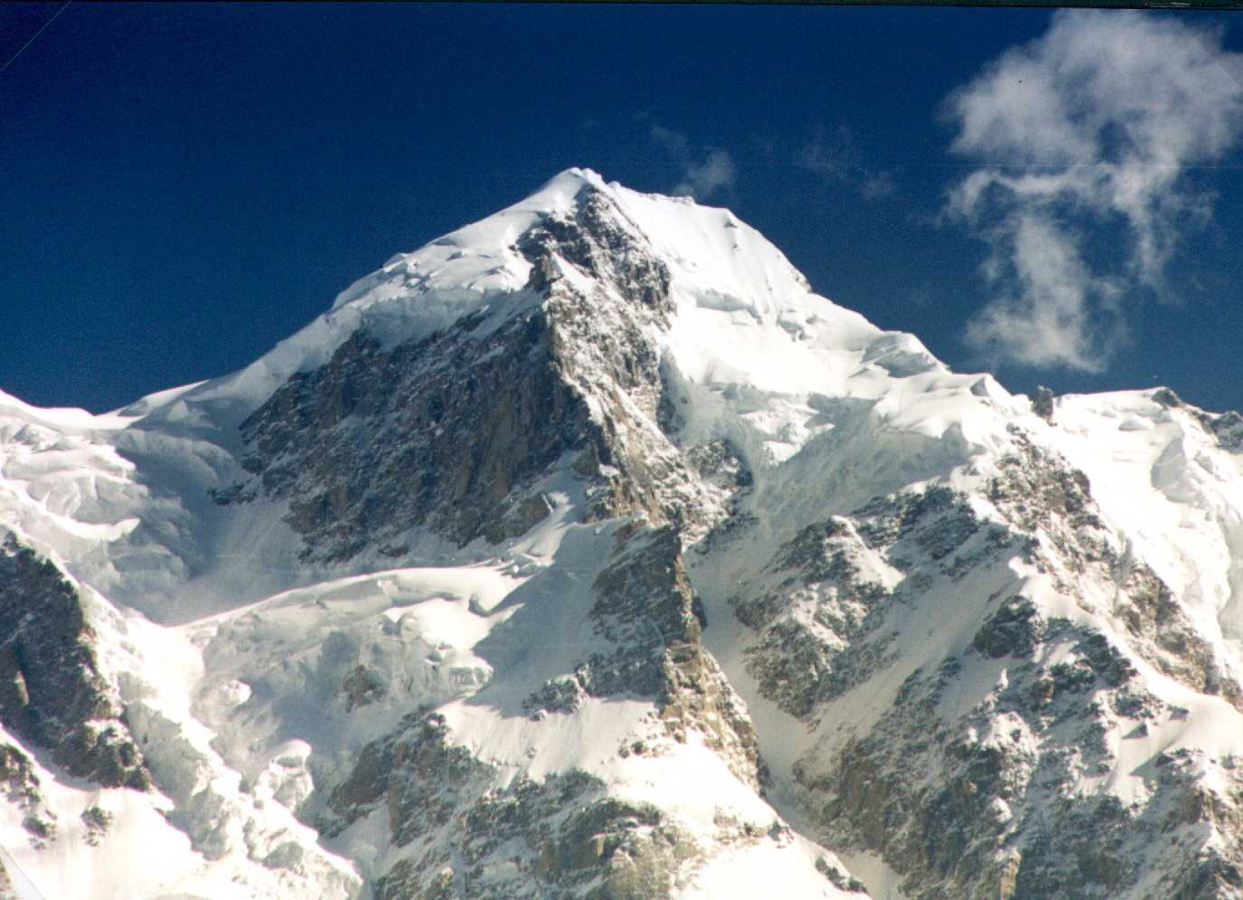
Nanga Parbat has tremendous vertical relief over local terrain
in all directions. To the south, Nanga Parbat
boasts what is often referred to as the highest mountain face in the world:
the Rupal Face rises 4,600 m (15,000 feet) above its base. To the north, the
complex, somewhat more gently sloped Rakhiot Flank rises 7,000 m (22,966
feet) from the Indus
River valley to the
summit in just 27 km, one of the 10 greatest elevation gains in so short a
distance on Earth.
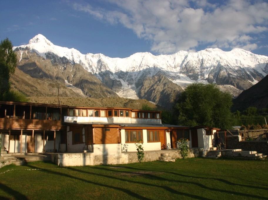
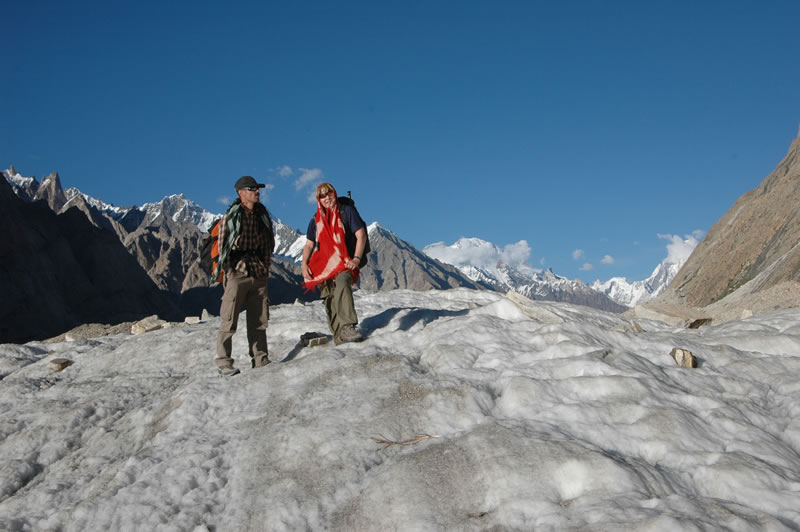
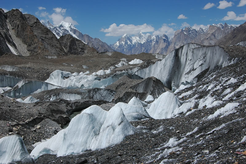
For anything to do with
mountains, there is no better place than Pakistan. It enjoys the unique
advantage of having within its Northern Areas the confluence of three mighty
mountain ranges. These are Himalayas, Hindu Kush,
and Karakoram. There are 120 peaks, some unclimbed and unamed with an average
height of 21,490 feet. These include some of the highest in the world like
the K-2 (28,250 feet) next only to the Everest, Nanga Parbat (26,660 feet)
and Gasherbrum-I (26,470 feet). The area has
been a magnet for mountaineers from all over the world since 19th century.
Everyday more and more mountaineering expeditions come to Pakistan.
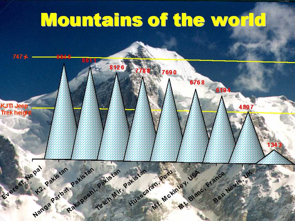
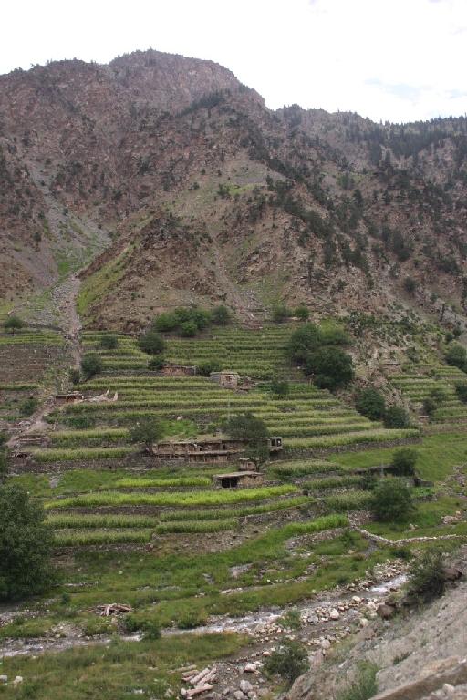
The mountains in Pakistan
are some of the tallest in the world. Compare Pakistan's
mountains with the highest mountains in North America, South America and Europe. Northern Areas of Pakistan is extremely
complex, covering the convergence of four major mountain ranges: Pamirs,
Hindu Kush, Karakorum,
and Great Himalayas. The diverse range of environments, everything from
temperate to alpine to desert to volcanic, go hand-in-hand with the people
that live there. The land is as rugged, as high, and as varied as anywhere on
Earth, and the people a mesmerizing mix of ancient tribes. KJTI aims to
expose you to this environment in an interactive way that gives you a real insight
into the land and the people without disturbing their gentle equilibrium.