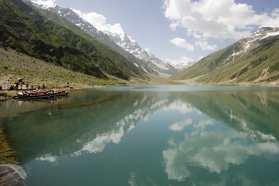
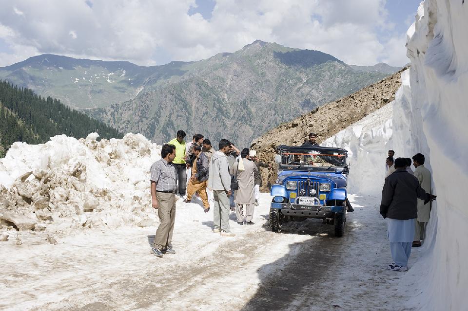
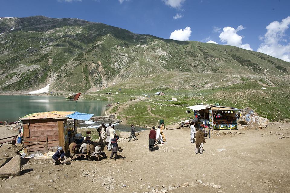
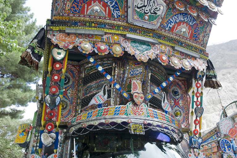
Jeep Tour K2 Trek Snow Capped High Mountains Valley Travel
|
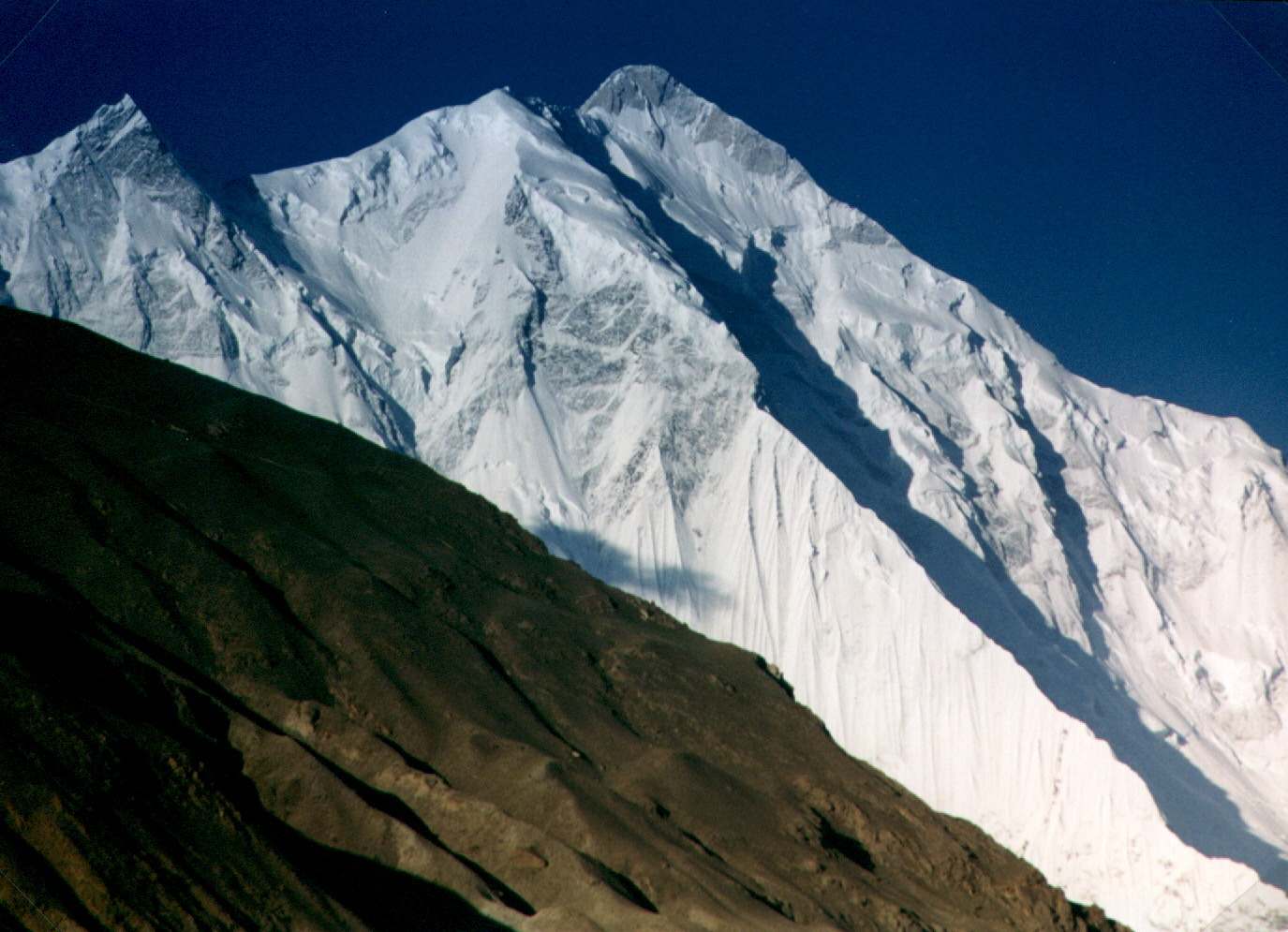
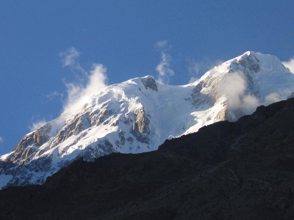
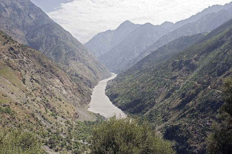
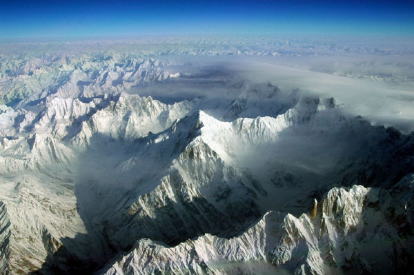
Karakorum is a large mountain range spanning the borders
between Pakistan,
India and China, located in
the regions of Gilgit-Baltistan (Pakistan), Ladakh (India), and Xinjiang (China). It is one
of the Greater Ranges of Asia, a part of the
greater Himalaya
while north of the actual Himalaya
Range. The The Due to its
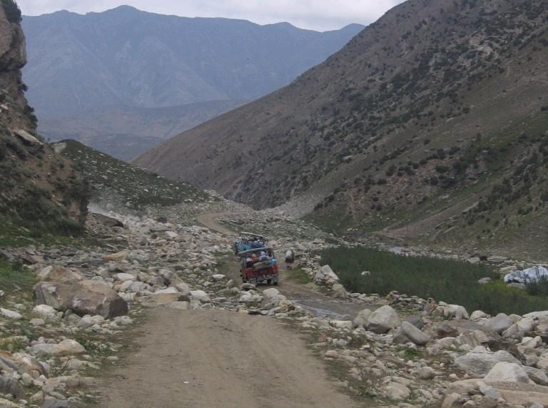
altitude and ruggedness, the The Muztagh
Pass was crossed in 1887 by the expedition of Colonel Francis Younghusband and the valleys above
the Hunza
River were explored by George
Cockerill in 1892. Explorations in the 1910s and 1920s established most
of the geography of the region. The Karakorum
and the Himalayas
are important to Earth scientists for several reasons. They are one of the
world's most geologically active areas, at the boundary between two colliding
continents.
Therefore, they are important in the study of plate
tectonics. Mountain glaciers may serve as an indicator of climate change,
advancing and receding with long-term changes in temperature and
precipitation. These extensive ranges may have even caused climate change
when they were formed over 40 million years ago. The large amounts of rock
exposed to the atmosphere are weathered (broken down) by carbon
dioxide. This process removes the greenhouse
gas from the atmosphere, and could have caused the global
climate to cool, triggering an ongoing series of ice ages. The
The majority of
the highest peaks are either in the Gilgit-Baltistan or Ladakh regions of India/Pakistan.
Baltistan has more than 100 mountain peaks exceeding 6,100 metres
(20,000 ft) height from sea level. The naming and
division of the various subranges of the Karakoram is not universally agreed
upon. However, the following is a list of the most important subranges,
following Jerzy Wala. The ranges are listed roughly west to east.
. (Some
information and links sourced from Wikipedia) Adventure Travel in North Pakistan http://www.kjti.co.uk/
|
|
|
|
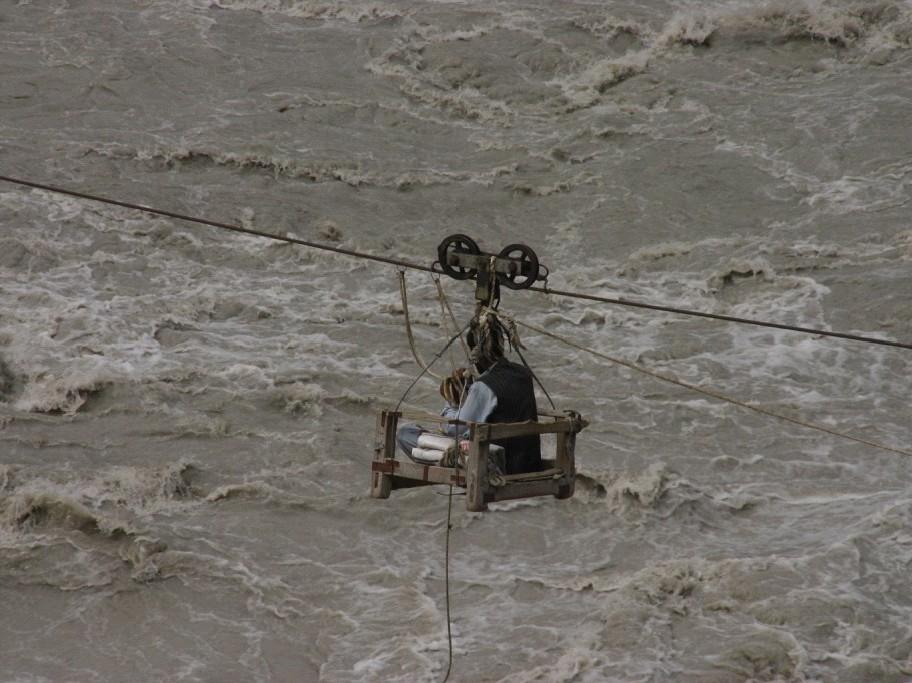
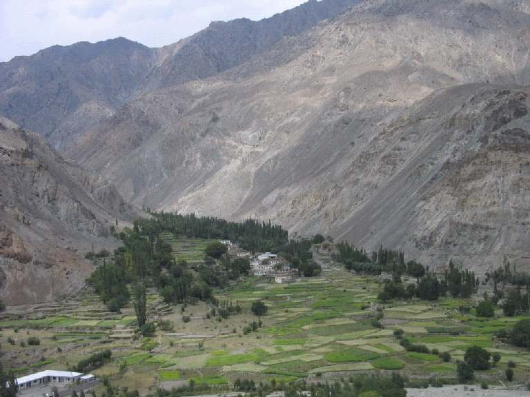
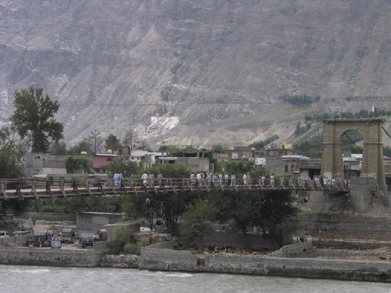
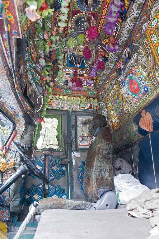
Click any image to enlarge |
||
|
|
|
|
|
|
|
|
|
|
|
|
|
|
|
|
|
|
|
|
|
|
|
|
|
|
|
|
|
|
|
|
|
|
|
|
|
|
||