|
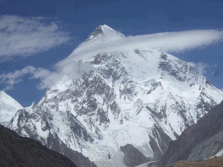
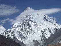
K2 is the second-highest mountain on Earth (after Mount
Everest). With a peak elevation of 8,611 metres (28,251 ft), K2
is part of the Karakoram range,
and is located on the border between the Taxkorgan Tajik Autonomous County
of Xinjiang,
China and Gilgit, in Gilgit-Baltistan
of Pakistan.
K2 is known as
the Savage
Mountain due to the
difficulty of ascent and the 2nd highest fatality rate among the 'eight thousanders' for those who climb it. For
every four people who have reached the summit, one has died trying. Unlike Annapurna,
the mountain with the highest fatality rate, K2
has never been climbed in winter.
The name K2 is derived from the notation used by the Great Trigonometric Survey. Thomas Montgomerie made the first
survey of the Karakoram from Mount
Haramukh, some 130 miles (210 km) to the south, and sketched
the two most prominent peaks, labelling them K1 and K2.
The policy of
the Great Trigonometric Survey was to use local names for mountains wherever
possible and K1 was found to be known locally as Masherbrum.
K2, however, appeared not to have acquired a
local name, possibly due to its remoteness. The mountain is not visible from Askole, the last
village to the south, or from the nearest habitation to the north, and is
only fleetingly glimpsed from the end of the Baltoro
Glacier, beyond which few local people would have ventured. The name Chogori,
derived from two Balti words, chhogo ('big') and ri
('mountain') (شاہگوری) has been
suggested as a local name, but evidence for its widespread use is scant. It
may have been a compound name invented by Western explorers or simply a
bemused reply to the question "What's that called?" It does,
however, form the basis for the name Qogir (simplified Chinese: 乔戈里峰; traditional Chinese: 喬戈里峰; pinyin: Qiáogēlǐ Fēng) by which Chinese
authorities officially refer to the peak. Other local names have been
suggested including Lamba Pahar ("Tall Mountain"
in Urdu) and Dapsang, but are not widely used.
Lacking a local
name, the name Mount Godwin-Austen was suggested, in honour of Henry Godwin-Austen, an early
explorer of the area, and while the name was rejected by the Royal Geographical Society it was used
on several maps, and continues to be used occasionally.
The surveyor's
mark, K2, therefore continues to be the name
by which the mountain is commonly known. It is now also used in the Balti
language, rendered as Kechu or Ketu (Urdu: وکے
ٹ). The Italian climber Fosco
Maraini argued in his account of the ascent of Gasherbrum
IV that while the name of K2 owes its origin to chance, its clipped,
impersonal nature is highly appropriate for so remote and challenging a
mountain.
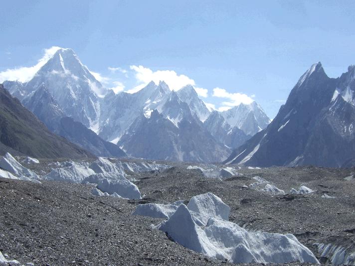
K2 is notable for
its local relief as well as its total height. It stands over
3,000 metres (9,843 ft) above much of the glacial valley bottoms at
its base. More extraordinary is the fact that it is a consistently steep
pyramid, dropping quickly in almost all directions. The north side is the
steepest: there it rises over 3,200 metres (10,499 ft) above the K2 (Qogir) Glacier in only 3,000 metres
(9,843 ft) of horizontal distance. In most directions, it achieves over
2,800 metres (9,186 ft) of vertical relief in less than
4,000 metres (13,123 ft).
Climbing
routes and difficulties
There are a
number of routes on K2, of somewhat
different character, but they all share some key difficulties. First, of
course, is the extreme high altitude and resulting lack of oxygen: there is
only one-third as much oxygen available to a climber on the summit of K2 as there is at sea level. Second is the propensity
of the mountain to experience extreme storms of several days' duration, which
have resulted in many of the deaths on the peak. Third is the steep, exposed,
and committing nature of all routes on the mountain, which makes retreat more
difficult, especially during a storm. Despite many tries there has been no
successful ascent during the winter. All major climbing routes lie on the
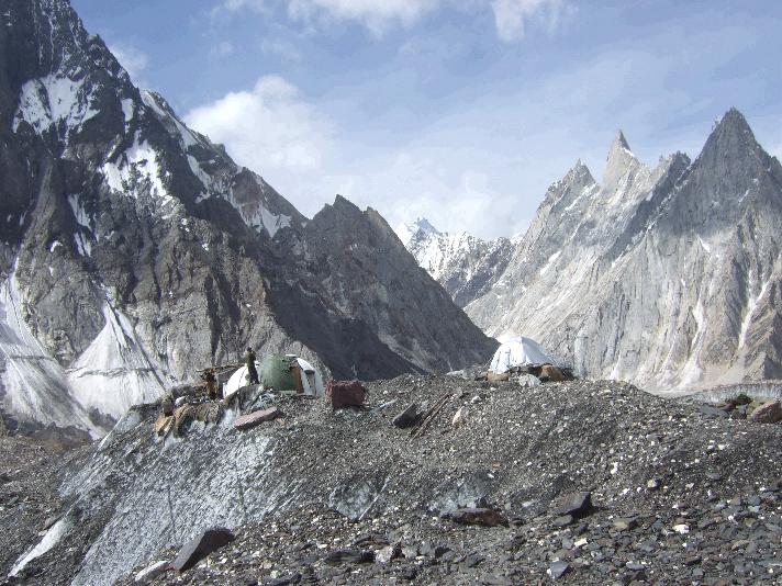
Pakistani side, which is also where the base camp is located.
Success
An Italian
expedition finally succeeded in ascending to the summit of K2
on July 31, 1954. The expedition was led by Ardito
Desio, although the two climbers who actually reached the top were Lino
Lacedelli and Achille Compagnoni. The team included a
Pakistani member, Colonel Muhammad Ata-ullah, who had been a part of the 1953
American expedition. Also on the expedition were the famous Italian climber Walter
Bonatti and Pakistani Hunza porter Mahdi, who proved vital to the
expedition's success in that they carried oxygen to 26,600 feet
(8,100 m) for Lacedelli and Compagnoni. Their dramatic bivouac
in the open at that altitude wrote another chapter in the saga of Himalayan
climbing.
On August 9,
1977, 23 years after the Italian expedition, Ichiro
Yoshizawa led the second successful ascent to the top; with Ashraf
Aman as the first native Pakistani climber. The Japanese expedition
ascended through the Abruzzi Spur route traced by the Italians, and used more
than 1,500 porters to achieve the goal.
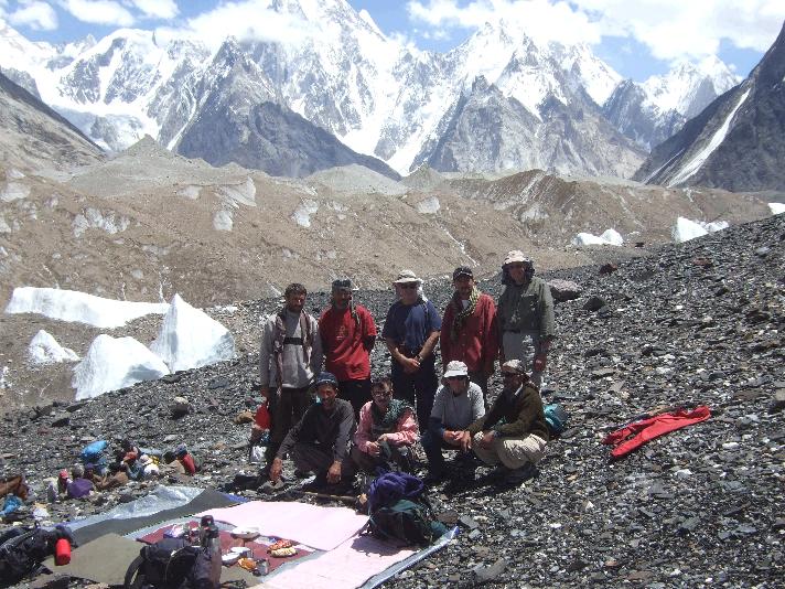
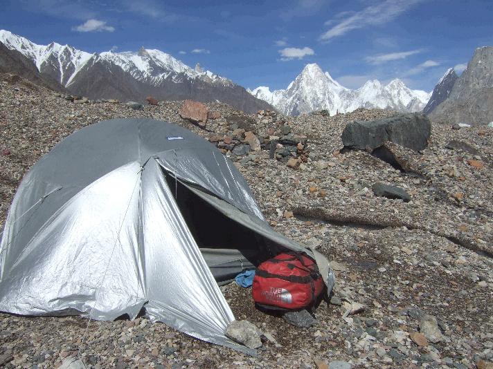
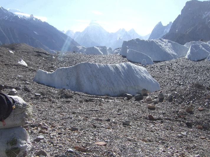
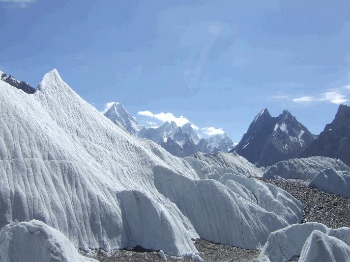
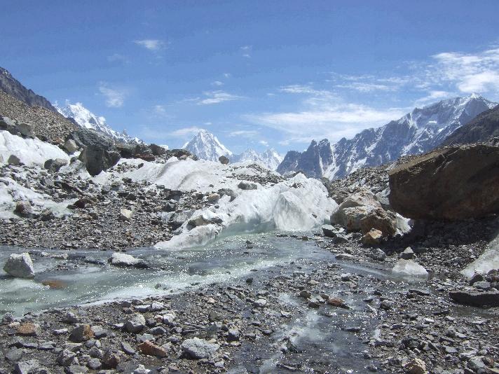
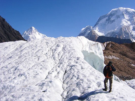
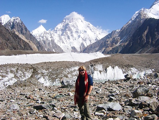
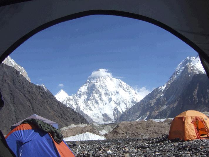
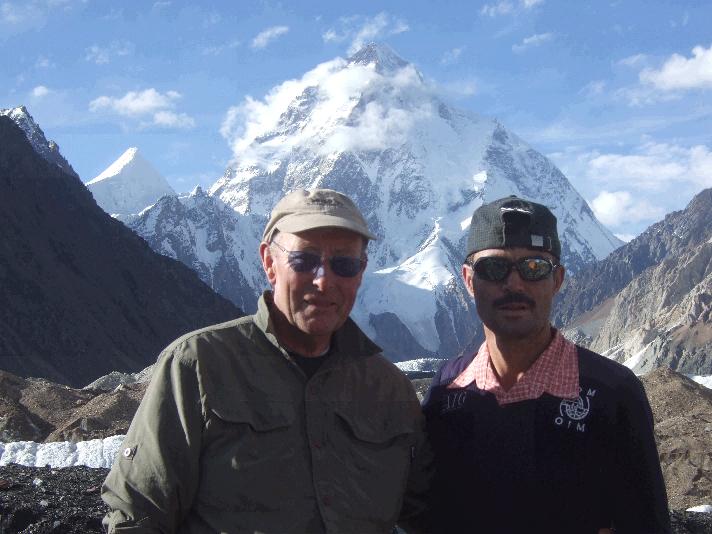
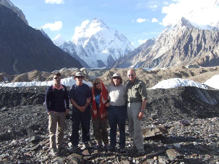
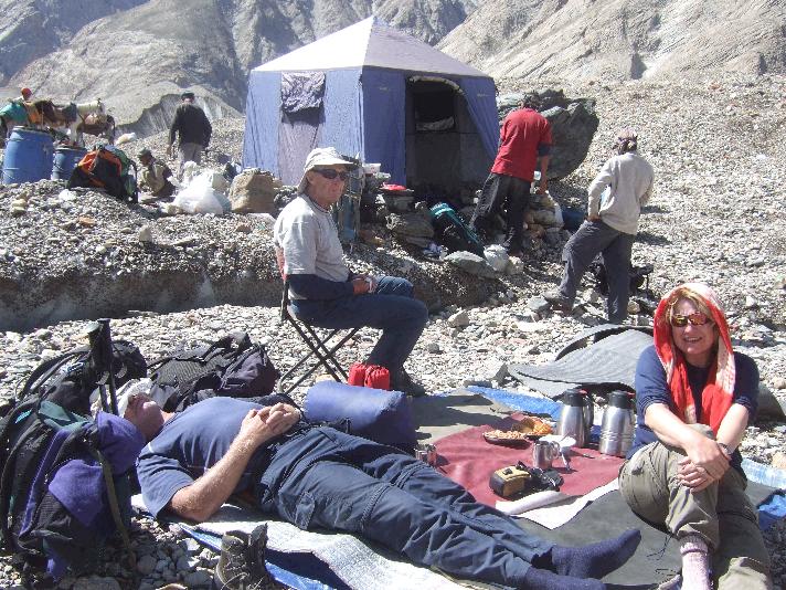
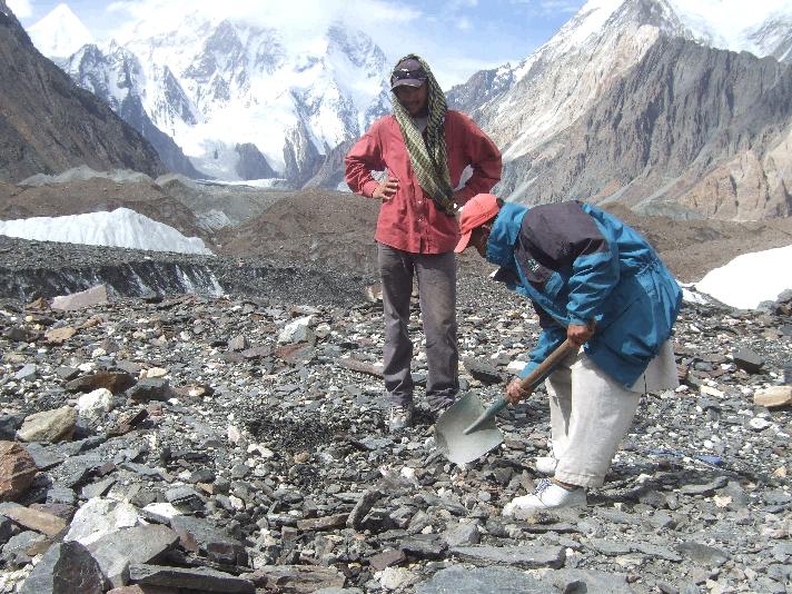
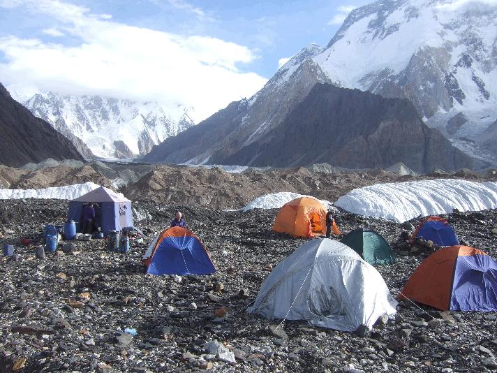
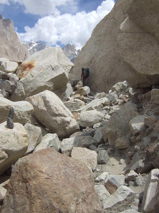
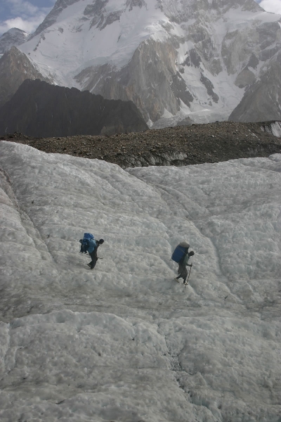
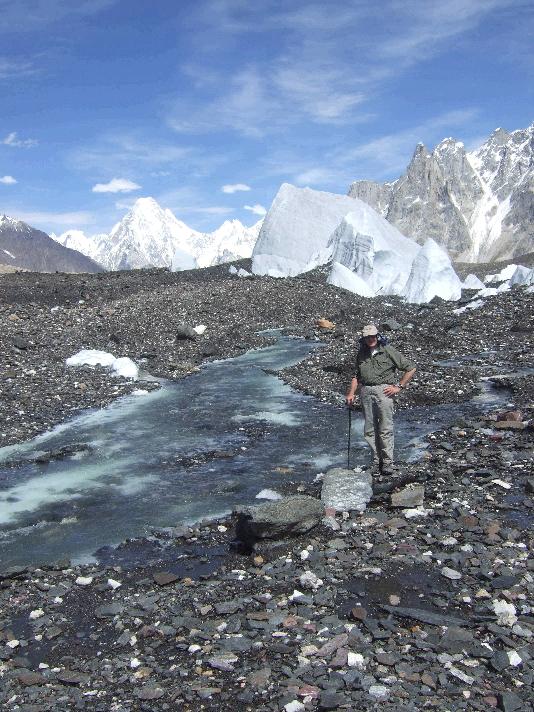
The KJTI K2
Trek is the 14-day expedition to Concordia and return to Skardu through Gondogoro La
weather permitting.
(Some
information and links sourced from Wikipedia)
Adventure Travel in North Pakistan http://www.kjti.co.uk/
|
|